Chorweiler
Boroughs and quarters of CologneChorweilerCologne region geography stubs

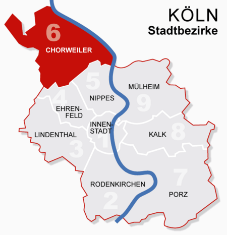
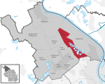
Chorweiler (German: Köln-Chorweiler, German pronunciation: [kɔʁvaɪlɐ]) is the sixth borough (Stadtbezirk) of Cologne, Germany. Large portion of the borough of Chorweiler were incorporated into the city of Cologne in 1922, the borough of Chorweiler was created in the 1970s. The borough has the lowest population density in Cologne and many areas are very rural. The borough of Chorweiler borders with the Cologne boroughs of Nippes and Ehrenfeld to the South, Rhein-Erft-Kreis to the West, Rhein-Kreis Neuss to the North, and the Rhine to the East. On the other riverbank lie the city of Leverkusen and Monheim am Rhein.
Excerpt from the Wikipedia article Chorweiler (License: CC BY-SA 3.0, Authors, Images).Chorweiler
Blumenbergsweg, Cologne Blumenberg (Chorweiler)
Geographical coordinates (GPS) Address Nearby Places Show on map
Geographical coordinates (GPS)
| Latitude | Longitude |
|---|---|
| N 51.0438 ° | E 6.89564 ° |
Address
Blumenbergsweg
Blumenbergsweg
50765 Cologne, Blumenberg (Chorweiler)
North Rhine-Westphalia, Germany
Open on Google Maps


