place

Vordere Kesselschneid

Kaiser MountainsMountains of Tyrol (state)Mountains of the AlpsTwo-thousanders of Austria
Kesselschneid
Kesselschneid

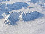
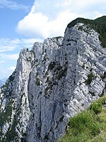
At 2,002 metres (6,568 ft) the Vordere Kesselschneid is the highest summit in the Zahmer Kaiser, the northern chain of the Kaiser Mountains in the Austrian state of Tyrol. Its summit is located southeast of the oft-visited Pyramidenspitze and is separated from it by a ca. 50 m deep saddle. To the east of the mountain is a long, rocky arête, partly covered with mountain pines which runs over the Hintere Kesselschneid (1,995 m) to the Roßkaiser (1,970 m). To the north its steep rock faces drop into the Winkelkar cirque, to the west lies the long plateau of the Kaisergebirge and the Pyramidenspitze and to the south the mountain falls sharply into the Kaisertal.

Excerpt from the Wikipedia article Vordere Kesselschneid (License: CC BY-SA 3.0, Authors, Images).

Vordere Kesselschneid
Klettersteig Pyramidenspitze,

Geographical coordinates (GPS) Address Nearby Places
placeShow on map

Wikipedia: Vordere KesselschneidContinue reading on Wikipedia

Geographical coordinates (GPS)

Latitude Longitude
N 47.61028 ° E 12.27667 °
placeShow on map

Address

Klettersteig Pyramidenspitze

Klettersteig Pyramidenspitze
6344
Austria
mapOpen on Google Maps

Kesselschneid
Kesselschneid
Share experience

Nearby Places

Kaisertal
Kaisertal

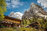
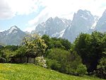
The Kaisertal (formerly Sparchental) is a striking mountain valley between the mountain chains of the Zahmer and Wilder Kaiser in Austria's Kaisergebirge range in the Tyrol. In the ravine (Sparchenklamm) on the valley floor flows the stream of the Kaiserbach (Sparchenbach), which discharges north of Kufstein into the Inn (river). It is home to several, scenic isolated farms (e.g. the Pfandlhof and Veitenhof). A popular calendar image is St. Anthony's Chapel (Antoniuskapelle) on the Kaisertal footpath in the centre of the valley. The Kaisertal lies within the Kaisergebirge Nature Reserve (created in 1963) and, until 1 June 2008, could only be reached on foot. The most frequently used approach route runs from Eichelwang (Ebbs) over ca. 280 steps on the Kaiseraufstieg into the valley. The Kaisertal was the last inhabited valley in Austria without a road link. The cars and motorcycles of the farmers in the Kaisertal were either flown in by helicopter or transported in pieces over the Kaiseraufstieg. For years there were discussions about improving access to the Kaisertal. Suggestions included the construction of an inclined lift (Schrägaufzug) or an improved form of the existing aerial ropeway (Materialseilbahn) from Kufstein. The first cut of the spade for the construction of a road from Ebbs through a ca. 800 m long tunnel to the Kaisertal took place on 19 May 2006. For reasons of nature conservation the road was only to be used by the inhabitants, firms and emergency vehicles (secured with barriers and keys). The building of the road was only agreed after years of negotiations by the village of Ebbs with the town of Kufstein (the largest land owner in the Kaisertal). For a long time Kufstein was against the road in the Kaisertal for conservation reasons and had offered to upgrade the existing cable car for the inhabitants there so that vehicles could be transported there. This was rejected by the village of Ebbs. On 10 March 2007 the tunnel broke through into the Kaisertal. The development of the tunnel and the road were completed in autumn 2007; work then began on canalisation in the valley. On 31 May 2008 the tunnel was officially opened to traffic.