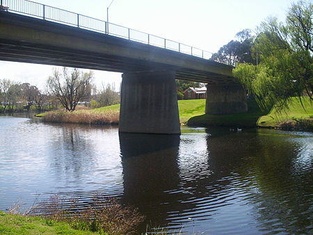
Queanbeyan River

The Queanbeyan River, a perennial stream that is part of the Molonglo catchment within the Murray–Darling basin, is located in the Monaro and Capital Country regions of New South Wales and the Australian Capital Territory, in Australia. The river is 104 kilometres (65 mi) in length with a catchment area of 96,000 hectares (240,000 acres). The Queanbeyan River and the Cotter River meet the potable water supply needs of the Canberra and Queanbeyan region and whose water quality is specifically protected under Federal legislation. It is believed that the local Aboriginal Ngarigo people used a word that sounded like queanbeyan to describe the river, said to mean "clearwater".
Excerpt from the Wikipedia article Queanbeyan River (License: CC BY-SA 3.0, Authors, Images).Queanbeyan River
Oaks Estate River Corridor Heritage Walk,
Geographical coordinates (GPS) Address Nearby Places Show on map
Geographical coordinates (GPS)
| Latitude | Longitude |
|---|---|
| N -35.336944444444 ° | E 149.23083333333 ° |
Address
Oaks Estate River Corridor Heritage Walk
Oaks Estate River Corridor Heritage Walk
2620 , Oaks Estate
Australia
Open on Google Maps


