Lostock Hall

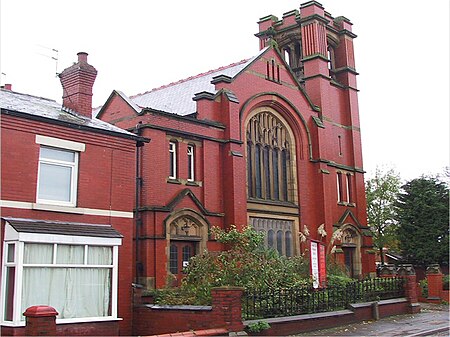
Lostock Hall is a suburban village within the South Ribble borough of Lancashire, England. It is located on the south side of the River Ribble, some 3 miles (4.8 km) south of Preston and 2.5 miles (4 km) north of Leyland. It is bordered on its southeastern side by the interchange for the M6, M61 and M65 motorways. At the time of the United Kingdom Census 2001, the central Lostock Hall area had a population of 3,948, falling to 3,762 at the 2011 Census.Lostock Hall traces its origins to James de Lostock who in 1212 built Lostock's Hall in the then rural area of Cuerden Green in the township of Walton-le-Dale. A settlement expanded outwards from Lostock's Hall, taking its name from the Hall. The former separate community of Tardy Gate is now for all intents and purposes a part of Lostock Hall - it used to be the farming community linking one part of rural Lancashire to another.
Excerpt from the Wikipedia article Lostock Hall (License: CC BY-SA 3.0, Authors, Images).Lostock Hall
Moss Lane, South Ribble
Geographical coordinates (GPS) Address Nearby Places Show on map
Geographical coordinates (GPS)
| Latitude | Longitude |
|---|---|
| N 53.725 ° | E -2.688 ° |
Address
Moss Lane
Moss Lane
PR5 5BT South Ribble
England, United Kingdom
Open on Google Maps


