North Gower Township

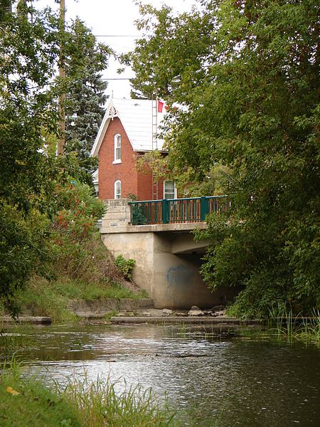
North Gower Township is a former and now geographic township in eastern Ontario, Canada, now located in Ottawa. It contains the communities of Manotick and North Gower. North Gower (pronounced "North Gor") was located in the southern part of Carleton County, bordered to the northwest by Goulbourn Township, to the north by Nepean, to the east by Osgoode and to the south by South Gower Township. It is separated from North Grenville and Osgoode by the Rideau River. Originally known as Township C, it was established in 1792. In 1800, it became part of Carleton County and was incorporated as a township in 1850. The first settlers in the township were United Empire Loyalists. The township was first settled by Stephen Blanchard in 1820. The village of North Gower was first settled in 1846 and was originally known as Stephensville. The township merged with Marlborough Township and Long Island in 1974 to become Rideau Township. Rideau, in turn, became part of the amalgamated city of Ottawa in 2001. North Gower Township took its name from Admiral John Leveson-Gower, Lord of the Admiralty from 1783 to 1789. At one time, there was also a South Gower Township.According to the Canada 2016 Census, the former township had a population of 10,971 (former boundaries, including Long Island). As of the Canada 2021 Census, this had increased to 12,341.
Excerpt from the Wikipedia article North Gower Township (License: CC BY-SA 3.0, Authors, Images).North Gower Township
Highway 416, Ottawa
Geographical coordinates (GPS) Address Nearby Places Show on map
Geographical coordinates (GPS)
| Latitude | Longitude |
|---|---|
| N 45.1531 ° | E -75.6828 ° |
Address
Highway 416
Highway 416
K0A 2E0 Ottawa (Rideau-Jock)
Ontario, Canada
Open on Google Maps


