Dosewallips State Park
Parks in Jefferson County, WashingtonProtected areas established in 1954State parks of Washington (state)Use mdy dates from August 2023

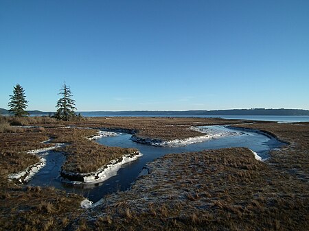
Dosewallips State Park is a public recreation area located where the Dosewallips River empties into Hood Canal in Jefferson County, Washington. The state park's 1,064 acres (431 ha) include both freshwater and saltwater shorelines. The park offers opportunities for picnicking, camping, hiking, boating, fishing, swimming, scuba diving, and shellfish harvesting.
Excerpt from the Wikipedia article Dosewallips State Park (License: CC BY-SA 3.0, Authors, Images).Dosewallips State Park
US 101,
Geographical coordinates (GPS) Address Website External links Nearby Places Show on map
Geographical coordinates (GPS)
| Latitude | Longitude |
|---|---|
| N 47.688611111111 ° | E -122.90694444444 ° |
Address
Dosewallips State Park
US 101
98320
Washington, United States
Open on Google Maps


