Rancho San Andrés
1833 establishments in Alta CaliforniaCalifornia ranchosRanchos of Santa Cruz County, California
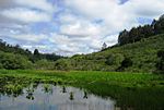
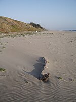
Rancho San Andrés was a 8,911-acre (36.06 km2) Mexican land grant in present-day Santa Cruz County, California given in 1833 by Governor José Figueroa to José Joaquín Castro. The grant on Monterey Bay extended from La Selva Beach on the north to Watsonville Slough on the south. Rancho Aptos of his son Rafael Castro formed the north boundary of the grant.
Excerpt from the Wikipedia article Rancho San Andrés (License: CC BY-SA 3.0, Authors).Rancho San Andrés
Buena Vista Drive,
Geographical coordinates (GPS) Address Nearby Places Show on map
Geographical coordinates (GPS)
| Latitude | Longitude |
|---|---|
| N 36.92 ° | E -121.83 ° |
Address
Buena Vista Drive
Buena Vista Drive
95019
California, United States
Open on Google Maps


