Industrieviertel

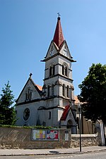
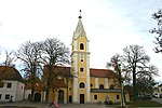
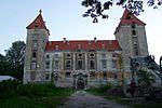
Industrieviertel (German pronunciation: [ɪndʊsˈtʁiːˌfɪʁtl̩] ; English: Industrial Quarter; Slovak: Priemyselná štvrť), or Viertel unter dem Wienerwald [ˈfɪʁtl̩ ʊntɐ deːm ˈviːnɐvalt] (Slovak: štvrť pod Viedenským lesom), is the southeastern quarter of the four quarters of Lower Austria (the northeast state of the 9 states in Austria). It is bordered on the north by Vienna and the Weinviertel, to the west by the Mostviertel, and to the south and east by the states of Styria and Burgenland respectively. The Vienna Woods (Wienerwald) forms the natural border to the west, and hence the alternate name as "Quarter below the Wienerwald". Since the formation of the political districts in 1868, the quarters in Lower Austria no longer have a legal basis and are purely landscape names. Today the industrial Quarter is represented by the districts Vienna Woods (Wienerwald) and the Vienna Alps (Wiener-Alpen).
Excerpt from the Wikipedia article Industrieviertel (License: CC BY-SA 3.0, Authors, Images).Industrieviertel
Güterweg Weichselbühel, Gemeinde Lichtenwörth
Geographical coordinates (GPS) Address Nearby Places Show on map
Geographical coordinates (GPS)
| Latitude | Longitude |
|---|---|
| N 47.8333 ° | E 16.3333 ° |
Address
Güterweg Weichselbühel
Güterweg Weichselbühel
2493 Gemeinde Lichtenwörth
Lower Austria, Austria
Open on Google Maps


