Laar, Weert
Limburg (Netherlands) geography stubsPopulated places in Limburg (Netherlands)Weert

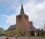
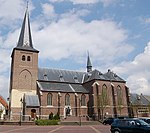
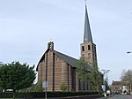
Laar (Limburgish: Laor) is a village in the Dutch province of Limburg. It is located in the municipality of Weert, just 2 km north of the town of Weert itself.The village was first mentioned in 1790 as Laer, and means "forest meadow".The grist mill Sint Antonius was built in 1903. It was restored after a storm in 1954. In 1970, it went out of service. It was restored between 1985 and 1987, but abandoned the next year. Between 2013 and 2014, it was restored again.
Excerpt from the Wikipedia article Laar, Weert (License: CC BY-SA 3.0, Authors, Images).Laar, Weert
Heide, Leudal
Geographical coordinates (GPS) Address Nearby Places Show on map
Geographical coordinates (GPS)
| Latitude | Longitude |
|---|---|
| N 51.275 ° | E 5.8722222222222 ° |
Address
Heide 11
6093 PA Leudal
Limburg, Netherlands
Open on Google Maps

