Dayr Aban
Arab villages depopulated during the 1948 Arab–Israeli WarDistrict of JerusalemPages with non-numeric formatnum arguments

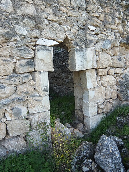
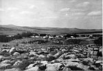
Dayr Aban (also spelled Deir Aban; Arabic: دير آبان) was a Palestinian Arab village in the Jerusalem Subdistrict, located on the lower slope of a high ridge that formed the western slope of a mountain, to the east of Beit Shemesh. It was formerly bordered by olive trees to the north, east, and west. The valley, Wadi en-Najil, ran north and south on the west-side of the village. It was depopulated during the 1948 Arab-Israeli War on October 19, 1948, during Operation Ha-Har. It was located 21 km west of Jerusalem. Today there are over 5000 people originally from Deir Aban living in Jordan.
Excerpt from the Wikipedia article Dayr Aban (License: CC BY-SA 3.0, Authors, Images).Dayr Aban
3866, Mate Yehuda Regional Council
Geographical coordinates (GPS) Address Nearby Places Show on map
Geographical coordinates (GPS)
| Latitude | Longitude |
|---|---|
| N 31.7425 ° | E 35.009444444444 ° |
Address
חוות דרך ארץ
3866
9901312 Mate Yehuda Regional Council
Jerusalem District, Israel
Open on Google Maps


