Heiligengeistfeld
Bunkers in GermanyGeography of HamburgHamburg-MitteHamburg geography stubs
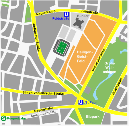
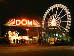
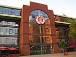
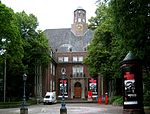
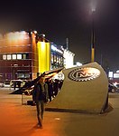
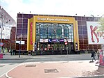
Heiligengeistfeld (German: "Holy Ghost Field") is an area of Hamburg in the St. Pauli quarter. The Hamburger Dom funfair has been held there since 1893. When the area is not used for exhibitions, circuses or the Dom it is a car park. A building from German Telekom, a swimming complex, Millerntor-Stadion, a school, a patrol station, a World War II building (Flakturm IV) and a supermarket are permanent structures on the field.
Excerpt from the Wikipedia article Heiligengeistfeld (License: CC BY-SA 3.0, Authors, Images).Heiligengeistfeld
Simon-von-Utrecht-Straße, Hamburg St. Pauli
Geographical coordinates (GPS) Address External links Nearby Places Show on map
Geographical coordinates (GPS)
| Latitude | Longitude |
|---|---|
| N 53.5539 ° | E 9.9706 ° |
Address
Heiligengeistfeld
Simon-von-Utrecht-Straße
20359 Hamburg, St. Pauli
Germany
Open on Google Maps
