Washington Circle
1856 establishments in Washington, D.C.Foggy BottomGeorge Washington UniversityHistoric American Buildings Survey in Washington, D.C.Parks in Washington, D.C. ... and 4 more
Road tunnels in the United StatesSquares, plazas, and circles in Washington, D.C.Streets in Washington, D.C.Tunnels in Washington, D.C.

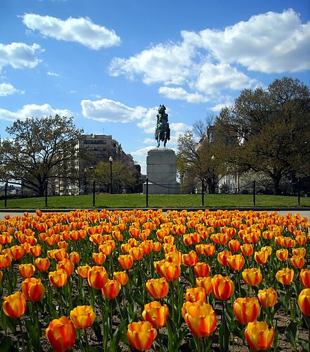
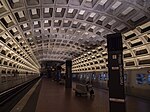
Washington Circle is a traffic circle in the northwest quadrant of Washington, D.C., United States. It is located on the border of the Foggy Bottom and West End neighborhoods, which is a part of the Ward 2 section in Washington. It is the intersection of 23rd Street, K Street, New Hampshire Avenue, and Pennsylvania Avenue, N.W. It borders many buildings of the George Washington University campus. The through lanes of K Street (which are U.S. Route 29) travel underneath the circle in a tunnel, while the service lanes intersect the circle.: 185–192
Excerpt from the Wikipedia article Washington Circle (License: CC BY-SA 3.0, Authors, Images).Washington Circle
Washington
Geographical coordinates (GPS) Address Nearby Places Show on map
Geographical coordinates (GPS)
| Latitude | Longitude |
|---|---|
| N 38.9025 ° | E -77.05 ° |
Address
Washington
District of Columbia, United States
Open on Google Maps


