Delph
Geography of the Metropolitan Borough of OldhamSaddleworthTowns and villages of the Peak DistrictUse British English from February 2015Villages in Greater Manchester

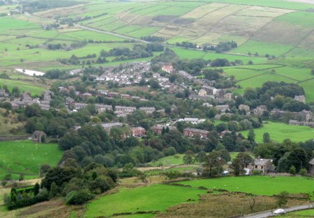
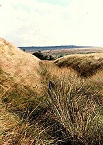
Delph (Old English (ge)delf a quarry) is a village in the civil parish of Saddleworth in the Metropolitan Borough of Oldham, in Greater Manchester, England. Historically within the West Riding of Yorkshire, it lies amongst the Pennines on the River Tame below the village of Denshaw, 4.0 miles (6.4 km) east-north-east of Oldham and 1.8 miles (2.9 km) north-north-west of Uppermill. The centre of the village has barely changed from the 19th century, when a number of small textile mills provided employment for the local community. There is a significant first century AD Roman fort at Castleshaw.
Excerpt from the Wikipedia article Delph (License: CC BY-SA 3.0, Authors, Images).Delph
Lawton Square,
Geographical coordinates (GPS) Address Nearby Places Show on map
Geographical coordinates (GPS)
| Latitude | Longitude |
|---|---|
| N 53.568 ° | E -2.023 ° |
Address
Lawton Square
Lawton Square
OL3 5DT , Saddleworth
England, United Kingdom
Open on Google Maps


