Bergisches Land
Bergisches LandCultural landscapes of North Rhine-WestphaliaMountain ranges of North Rhine-WestphaliaPages with German IPARegions of North Rhine-Westphalia ... and 1 more
Rhenish Massif
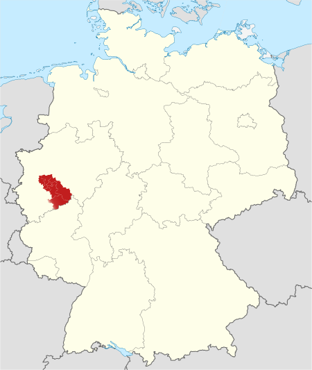
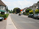
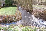
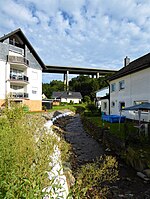
The Bergisches Land (German: [ˈbɛʁɡɪʃəs ˈlant], Berg Country) is a low mountain range in the state of North Rhine-Westphalia, Germany, east of the Rhine and south of the Ruhr. The landscape is shaped by forests, meadows, rivers and creeks and contains over twenty artificial lakes. Wuppertal is the biggest town, while the southern part has economic and socio-cultural ties to Cologne. Wuppertal and the neighbouring cities of Remscheid and Solingen form the Bergisches Städtedreieck (Berg City Triangle).
Excerpt from the Wikipedia article Bergisches Land (License: CC BY-SA 3.0, Authors, Images).Bergisches Land
Delling,
Geographical coordinates (GPS) Address Nearby Places Show on map
Geographical coordinates (GPS)
| Latitude | Longitude |
|---|---|
| N 51.05 ° | E 7.3069444444444 ° |
Address
Wanderparkplatz Delling
Delling
51515
North Rhine-Westphalia, Germany
Open on Google Maps

