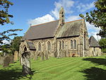
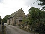
Kelsall
Civil parishes in CheshireVillages in Cheshire

Kelsall is a village and civil parish in the unitary authority of Cheshire West and Chester and the ceremonial county of Cheshire, England. It is located around 8 miles (13 km) east of Chester, 8 miles (13 km) west of Northwich, and 4 miles (6 km) north west of Tarporley. The village is situated on Kelsall Hill, a part of the Mid-Cheshire Ridge, the broken line of sandstone hills that divide the west Cheshire Plain from its eastern counterpart. The ridge includes other hills including Peckforton, Beeston, Frodsham, and Helsby.
Excerpt from the Wikipedia article Kelsall (License: CC BY-SA 3.0, Authors, Images).Kelsall
Church Street,
Geographical coordinates (GPS) Address Nearby Places Show on map
Geographical coordinates (GPS)
| Latitude | Longitude |
|---|---|
| N 53.207 ° | E -2.712 ° |
Address
Church Street
CW6 0QG , Kelsall
England, United Kingdom
Open on Google Maps


