Gouvy

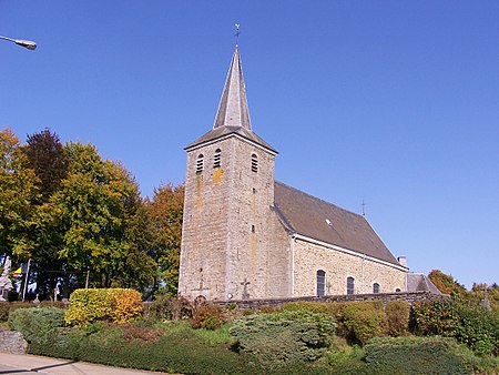
Gouvy (French pronunciation: [ɡuvi]; Walloon: Gouvi) is a municipality of Wallonia located in the province of Luxembourg, Belgium. On 1 January 2007 the municipality, which covers 165.11 km2, had 4,780 inhabitants, giving a population density of 29 inhabitants per km2. The municipality consists of the following districts: Beho, Bovigny, Cherain, Limerlé, and Montleban. Villages in the municipality include Baclain, Bistain, Brisy, Cherapont, Cierreux, Courtil, Deiffelt, Halconreux, Halonru, Honvelez, Langlire, Lomré, Ourthe, Rettigny, Rogery, Steinbach, Sterpigny, Vaux and Wathermal. The administrative headquarters are situated in Bovigny. The Ourthe Orientale river originates in the municipality of Gouvy, near the hamlet of Ourthe.
Excerpt from the Wikipedia article Gouvy (License: CC BY-SA 3.0, Authors, Images).Gouvy
Gouvy,
Geographical coordinates (GPS) Address Nearby Places Show on map
Geographical coordinates (GPS)
| Latitude | Longitude |
|---|---|
| N 50.183333333333 ° | E 5.9333333333333 ° |
Address
Gouvy
Gouvy
6670 (Limerlé)
Luxembourg, Belgium
Open on Google Maps


