Attert
AttertBelgian Luxembourg geography stubsMunicipalities of Luxembourg (Belgium)Pages with French IPA

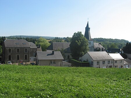
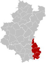
Attert (French pronunciation: [atɛʁt]; Luxembourgish: Atert; Walloon: Ater) is a municipality of Wallonia located in the province of Luxembourg, Belgium. On 1 January 2007 the municipality, which covers 70.94 km², had 4,802 inhabitants, giving a population density of 67.7 inhabitants per km². The municipality consists of the following districts: Attert, Nobressart, Nothomb, Thiaumont, and Tontelange. Other population centers include: The municipality falls within the Luxembourgish-speaking Arelerland and several street name signs are bilingual.
Excerpt from the Wikipedia article Attert (License: CC BY-SA 3.0, Authors, Images).Attert
Rue de la Fontaine,
Geographical coordinates (GPS) Address Nearby Places Show on map
Geographical coordinates (GPS)
| Latitude | Longitude |
|---|---|
| N 49.75 ° | E 5.7833333333333 ° |
Address
Rue de la Fontaine 291
6717 (Attert)
Luxembourg, Belgium
Open on Google Maps


