Yvoir
Municipalities of Namur (province)Namur geography stubsPages with French IPAYvoir

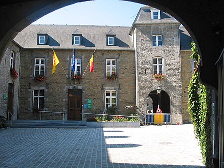
Yvoir (French pronunciation: [i.vwaʁ]; Walloon: Uwar) is a municipality of Wallonia located in the province of Namur, Belgium. On 1 January 2006 the municipality had 8,450 inhabitants. The total area is 56.84 km2, making it a population density of 149 inhabitants per km2. The municipality consists of the following districts: Dorinne, Durnal, Evrehailles, Godinne, Houx, Mont, Purnode, Spontin and Yvoir.
Excerpt from the Wikipedia article Yvoir (License: CC BY-SA 3.0, Authors, Images).Yvoir
Rue du Tricointe,
Geographical coordinates (GPS) Address Nearby Places Show on map
Geographical coordinates (GPS)
| Latitude | Longitude |
|---|---|
| N 50.333333333333 ° | E 4.8833333333333 ° |
Address
Rue du Tricointe
Rue du Tricointe
5530
Namur, Belgium
Open on Google Maps


