Clarée
Auvergne-Rhône-Alpes geography stubsFrance river stubsProvence-Alpes-Côte d'Azur geography stubsRivers of FranceRivers of Hautes-Alpes ... and 3 more
Rivers of Provence-Alpes-Côte d'AzurRivers of the AlpsTributaries of the Durance

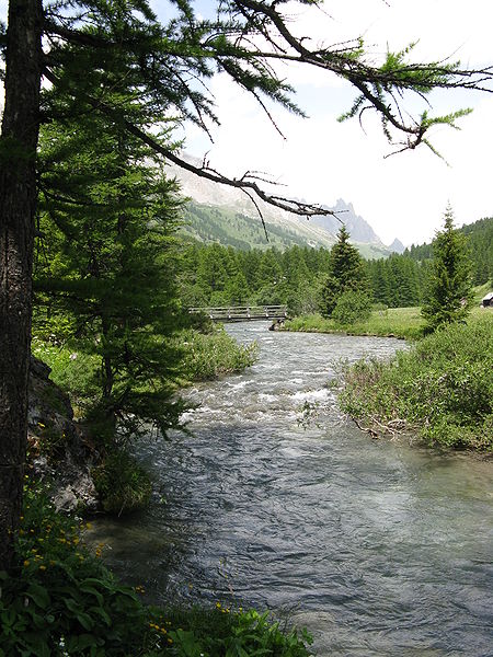
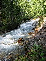
The Clarée is a river in southeastern France, a right tributary to the Durance. It is 31.9 km (19.8 mi) long. Its drainage basin is 189 km2 (73 sq mi). Its source is in the Cottian Alps, near Mont Thabor and Valloire. It flows for all of its course in the Hautes-Alpes department. Its confluence with the Durance is near the hamlet of Les Alberts not far from the source of the Durance in the ski resort of Montgenevre. The upper reaches of the river are in a military exercise range. This is where the French army from their base in Briançon train in the mountains.
Excerpt from the Wikipedia article Clarée (License: CC BY-SA 3.0, Authors, Images).Clarée
Pont des Amoureux, Briançon
Geographical coordinates (GPS) Address Nearby Places Show on map
Geographical coordinates (GPS)
| Latitude | Longitude |
|---|---|
| N 44.9246 ° | E 6.6795 ° |
Address
Pont des Amoureux
Pont des Amoureux
05100 Briançon
Provence-Alpes-Côte d'Azur, France
Open on Google Maps


