Stannington (ward)
Geographic coordinate listsLists of coordinatesUse British English from February 2020Wards of Sheffield

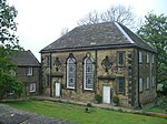
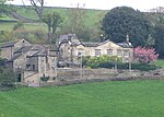
Stannington ward is one of the 28 electoral wards in the City of Sheffield, England. It is located in the western part of the borough, including some westernmost suburbs of the city; most of the land is rural. The population of the ward at the 2011 Census was 18,222.It is one of the wards that make up the Sheffield Hallam parliamentary constituency.
Excerpt from the Wikipedia article Stannington (ward) (License: CC BY-SA 3.0, Authors, Images).Stannington (ward)
Stannington Road, Sheffield Bradfield
Geographical coordinates (GPS) Address Nearby Places Show on map
Geographical coordinates (GPS)
| Latitude | Longitude |
|---|---|
| N 53.394 ° | E -1.545 ° |
Address
Stannington Road
Stannington Road
S6 6AL Sheffield, Bradfield
England, United Kingdom
Open on Google Maps


