Trebetherick
Populated coastal places in CornwallSites of Special Scientific Interest in CornwallVillages in CornwallYear of establishment missing

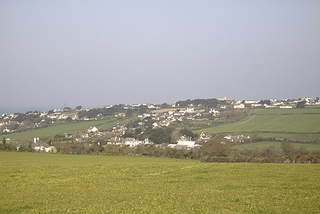
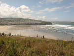
Trebetherick (Cornish: Trebedrek) is a village on the north coast of Cornwall. It is situated on the east side of the River Camel estuary approximately six miles (10 km) north of Wadebridge and half a mile (800 metres) south of Polzeath.Trebetherick straddles the Polzeath to Wadebridge road and extends west to Daymer Bay and northwest to Trebetherick Point, a rocky headland in the estuary, where the remains of shipwrecks can be seen on the foreshore. The National Trust owns land adjacent to Trebetherick Point.
Excerpt from the Wikipedia article Trebetherick (License: CC BY-SA 3.0, Authors, Images).Trebetherick
Daymer Lane,
Geographical coordinates (GPS) Address Nearby Places Show on map
Geographical coordinates (GPS)
| Latitude | Longitude |
|---|---|
| N 50.5652 ° | E -4.9192 ° |
Address
Daymer Lane
PL27 6EZ , St. Minver Lowlands
England, United Kingdom
Open on Google Maps


