Deister
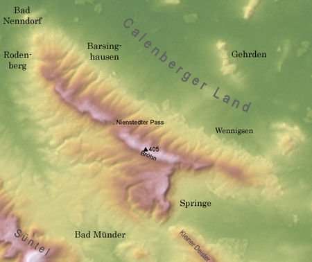
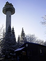
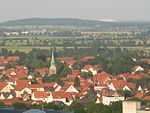
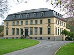
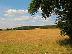
The Deister is a chain of hills in the German state of Lower Saxony, about 15 mi (25 km) southwest of the city of Hanover. It runs in a north-westerly direction from Springe in the south to Rodenberg in the north. The next in the chain of hills to the south is the Kleiner Deister ("Little Deister") from which it is separated by the flat pass of the Deister Gate. It is surrounded by Springe, Wennigsen, Barsinghausen, Bad Nenndorf, Rodenberg and Bad Münder (counter-clockwise, starting in the south). It has a total length of 21 km (14 mi), and rises in the Hofeler to a height of 395 m (1,250 ft). The highest point is the Bröhn at 405 m (1,312 ft). The chain is well-wooded and abounds in game. From the 17th century on there were several coal mines; the last were abandoned in the 1950s. Sandstone from quarries in eastern Deister was used in several important buildings all over Europe, including the opera house in Hanover and the Reichstag in Berlin. Today the Deister is a popular target for people of the Hanover area for walking and cycling. The Deister is a border region since ancient times. Here one can find many places with memorial stones, tumuli and ruins of castles.
Excerpt from the Wikipedia article Deister (License: CC BY-SA 3.0, Authors, Images).Deister
Kammweg,
Geographical coordinates (GPS) Address Nearby Places Show on map
Geographical coordinates (GPS)
| Latitude | Longitude |
|---|---|
| N 52.25 ° | E 9.5 ° |
Address
Kammweg
Kammweg
30974 (OS Wennigsen)
Lower Saxony, Germany
Open on Google Maps
