Chalampé

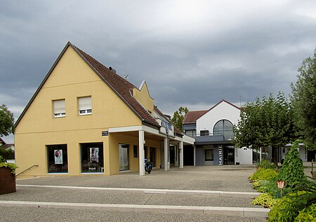
Chalampé (French pronunciation: [ʃalɑ̃pe] ; German: Eichwald) is a commune in the Haut-Rhin department in Alsace in north-eastern France, just across the river Rhine from Neuenburg, Germany. The town was founded by soldiers of Marshal Dubourg who in 1709 had beaten the Austrians under Count Claude Florimond de Mercy in the War of the Spanish Succession. It is located in an area called Eichwald (oak forest) by the otherwise German-speaking population of the Alsace, and bears its French name since 1735. Before Johann Gottfried Tulla and others straightened the Rhine in the 19th century, the river had changed its course several times, moving the border. Thus, the village was sometimes considered to be part of Germany.
Excerpt from the Wikipedia article Chalampé (License: CC BY-SA 3.0, Authors, Images).Chalampé
Rue de la 1e Armée, Mulhouse
Geographical coordinates (GPS) Address Phone number Nearby Places Show on map
Geographical coordinates (GPS)
| Latitude | Longitude |
|---|---|
| N 47.82 ° | E 7.54 ° |
Address
Lilicut
Rue de la 1e Armée 1
68490 Mulhouse
Grand Est, France
Open on Google Maps


