Mitzpe Shalem

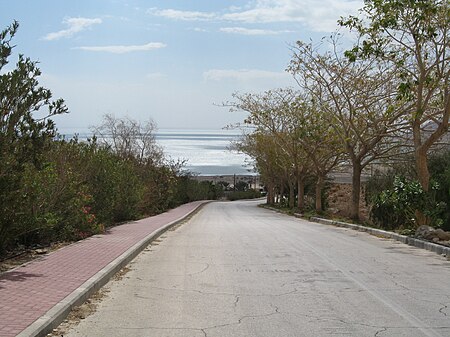
Mitzpe Shalem (Hebrew: מִצְפֵּה שָׁלֵם, lit. 'Shalem Lookout') is an Israeli settlement and former kibbutz in the eastern West Bank. Located near Highway 90 about 21 kilometres (13 mi) north of Ein Gedi and 10 kilometres (6.2 mi) north of the Green Line about 1 km from the western shores of the Dead Sea, it is the southernmost community under the jurisdiction of Megilot Regional Council. In 2021 it had a population of 238. It was established in 1970 on land belonging to the Palestinian Bedouin village of ‘Ayn Trayba. The international community considers Israeli settlements in the West Bank illegal under international law, but the Israeli government disputes this.
Excerpt from the Wikipedia article Mitzpe Shalem (License: CC BY-SA 3.0, Authors, Images).Mitzpe Shalem
Megilot Yam HaMelakh Regional Council
Geographical coordinates (GPS) Address Nearby Places Show on map
Geographical coordinates (GPS)
| Latitude | Longitude |
|---|---|
| N 31.568333333333 ° | E 35.400833333333 ° |
Address
Megilot Yam HaMelakh Regional Council
Judea and Samaria, Palestinian Territories
Open on Google Maps


