Molandier
Aude geography stubsCommunes of AudePages including recorded pronunciationsPages with French IPA
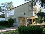
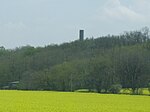
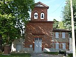
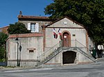
Molandier (French pronunciation: [mɔlɑ̃dje] ; Occitan: Molandièr) is a commune in the Aude department in southern France. The main town is a bastide located on the old highway 624 between Castelnaudary and Le Vernet.
Excerpt from the Wikipedia article Molandier (License: CC BY-SA 3.0, Authors).Molandier
Rue des Côteaux, Carcassonne
Geographical coordinates (GPS) Address Nearby Places Show on map
Geographical coordinates (GPS)
| Latitude | Longitude |
|---|---|
| N 43.2472 ° | E 1.7164 ° |
Address
Rue des Côteaux
Rue des Côteaux
11420 Carcassonne
Occitania, France
Open on Google Maps


