Cloppenburg (district)
Cloppenburg (district)Districts of Lower Saxony

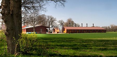
Cloppenburg is a district in Lower Saxony, Germany. It is bounded by (from the north and clockwise) the districts of Ammerland, Oldenburg, Vechta, Osnabrück, Emsland and Leer. Like the neighbouring Vechta district, it is well known for factory farming, especially of turkeys and pigs. These two districts are also known as the Schweinegürtel (“pig belt”). The ground is mostly of poor quality. The mass import of animal food made factory farming possible. With the help of liquid manure, corn is grown, which is also used for a growing production of biogas.
Excerpt from the Wikipedia article Cloppenburg (district) (License: CC BY-SA 3.0, Authors, Images).Cloppenburg (district)
Westallee,
Geographical coordinates (GPS) Address Website Nearby Places Show on map
Geographical coordinates (GPS)
| Latitude | Longitude |
|---|---|
| N 52.83 ° | E 8 ° |
Address
Ostendorf Büroorganisation
Westallee 88
49661 , Galgenmoor
Lower Saxony, Germany
Open on Google Maps


