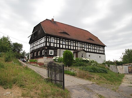
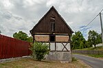
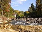
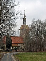
Posada, Lower Silesian Voivodeship
Villages in Zgorzelec CountyZgorzelec County geography stubs

Posada [pɔˈsada] is a village in the administrative district of Gmina Bogatynia, within Zgorzelec County, Lower Silesian Voivodeship, in south-western Poland. It is located in a Polish salient between the Czech Republic and Germany. It lies approximately 10 kilometres (6 mi) north of Bogatynia, 18 km (11 mi) south of Zgorzelec, and 148 km (92 mi) west of the regional capital Wrocław.
Excerpt from the Wikipedia article Posada, Lower Silesian Voivodeship (License: CC BY-SA 3.0, Authors, Images).Posada, Lower Silesian Voivodeship
gmina Bogatynia
Geographical coordinates (GPS) Address Nearby Places Show on map
Geographical coordinates (GPS)
| Latitude | Longitude |
|---|---|
| N 50.9925 ° | E 14.934166666667 ° |
Address
26
59-916 gmina Bogatynia
Lower Silesian Voivodeship, Poland
Open on Google Maps


