Sankt Radegund
Cities and towns in Braunau am Inn DistrictUpper Austria geography stubs

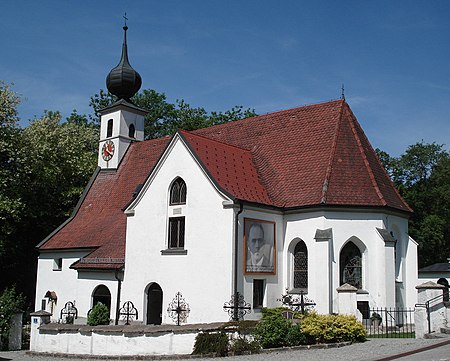
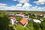
Sankt Radegund, abbreviated St. Radegund, is a municipality in the district of Braunau am Inn in the Austrian state of Upper Austria, named after Saint Radegund. It is situated at the western rim of the Innviertel region, where the Salzach river forms the border to the German state of Bavaria.
Excerpt from the Wikipedia article Sankt Radegund (License: CC BY-SA 3.0, Authors, Images).Sankt Radegund
L1004, Hochburg-Ach
Geographical coordinates (GPS) Address Nearby Places Show on map
Geographical coordinates (GPS)
| Latitude | Longitude |
|---|---|
| N 48.096666666667 ° | E 12.761944444444 ° |
Address
L1004
5121 Hochburg-Ach
Upper Austria, Austria
Open on Google Maps


