River Thurne
Geographic coordinate listsLists of coordinatesNorfolk BroadsRivers of NorfolkUse British English from April 2015 ... and 1 more
Yare catchment

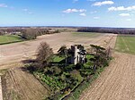
The River Thurne is a river in Norfolk, England in The Broads. Just 7 miles (11 km) long, it rises 2 miles (3.2 km) from the coast near Martham Broad and is navigable from West Somerton. It flows southwest and is linked by Candle Dyke and Heigham Sound to both Horsey Mere and Hickling Broad. It continues southwest and flows through Potter Heigham (passing under its medieval bridge) and enters the River Bure just south of Thurne dyke, near St Benet's Abbey.
Excerpt from the Wikipedia article River Thurne (License: CC BY-SA 3.0, Authors, Images).River Thurne
Church Road,
Geographical coordinates (GPS) Address Nearby Places Show on map
Geographical coordinates (GPS)
| Latitude | Longitude |
|---|---|
| N 52.6816 ° | E 1.5492 ° |
Address
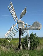
St Benet's Level Drainage Mill
Church Road
NR29 3BT
England, United Kingdom
Open on Google Maps


