Beginning Point of the U.S. Public Land Survey
1881 establishments in Ohio1881 establishments in PennsylvaniaBorders of OhioBorders of PennsylvaniaHistoric Civil Engineering Landmarks ... and 11 more
Historic surveying landmarks in the United StatesInitial pointsMonuments and memorials in OhioMonuments and memorials in PennsylvaniaNational Historic Landmarks in OhioNational Historic Landmarks in PennsylvaniaNational Register of Historic Places in Beaver County, PennsylvaniaNational Register of Historic Places in Columbiana County, OhioTourist attractions in Beaver County, PennsylvaniaTourist attractions in Columbiana County, OhioUse mdy dates from August 2023
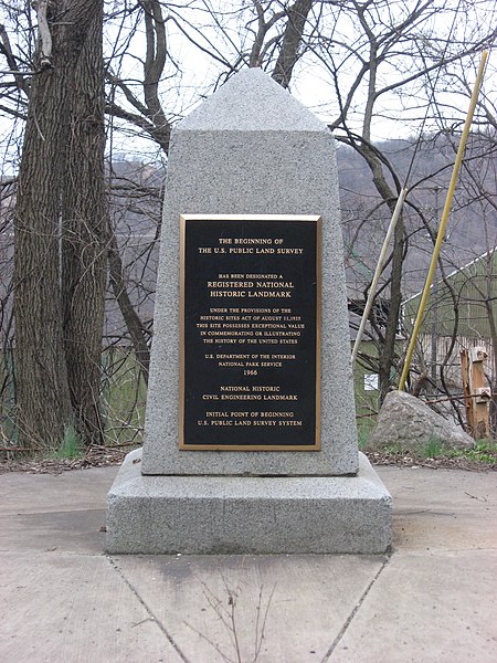
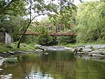
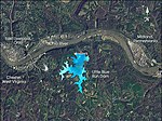
The Beginning Point of the U.S. Public Land Survey is the point from which the United States in 1786 began the formal survey of the lands known then as the Northwest Territory, now making up all or part of Ohio, Indiana, Illinois, Michigan, and Wisconsin. The survey is claimed to be the first major cadastral survey undertaken by any nation. The point now lies underwater on the state line between Ohio and Pennsylvania. Because it is submerged, a monument commemorating the point is adjacent to the nearest roadway and located on the state line between East Liverpool, Ohio and Ohioville, Pennsylvania. The area around the marker was designated a National Historic Landmark in 1965.
Excerpt from the Wikipedia article Beginning Point of the U.S. Public Land Survey (License: CC BY-SA 3.0, Authors, Images).Beginning Point of the U.S. Public Land Survey
Harvey Avenue,
Geographical coordinates (GPS) Address Nearby Places Show on map
Geographical coordinates (GPS)
| Latitude | Longitude |
|---|---|
| N 40.642391666667 ° | E -80.519377777778 ° |
Address
Harvey Avenue 2390
43920
Ohio, United States
Open on Google Maps
