Hobson, County Durham
County Durham geography stubsVillages in County Durham
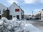
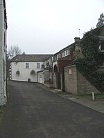
Hobson is a village in County Durham, in England. It is situated to the south of Burnopfield, north of Stanley and Annfield Plain. Hobson was a pit village, the colliery was named Burnopfield Colliery and was sunk in 1742 and closed in 1968. Among the village's attractions are the Hobson Hotel, Hobson Industrial Estate and Hobson Golf Club.
Excerpt from the Wikipedia article Hobson, County Durham (License: CC BY-SA 3.0, Authors).Hobson, County Durham
A692,
Geographical coordinates (GPS) Address Nearby Places Show on map
Geographical coordinates (GPS)
| Latitude | Longitude |
|---|---|
| N 54.896 ° | E -1.729 ° |
Address
A692
NE16 6BB
England, United Kingdom
Open on Google Maps


