Hilter
Municipalities in Lower SaxonyOsnabrück (district)Wikipedia indefinitely semi-protected pages

Hilter is a municipality in the district Osnabrück, Lower Saxony, Germany. It is located in the hills of the Teutoburg Forest. As of 2020 it has a population of 10,429, and covers an area of 52.61 km2. Highest elevation is the Hohnangel with 262 m above sea level.
Excerpt from the Wikipedia article Hilter (License: CC BY-SA 3.0, Authors, Images).Hilter
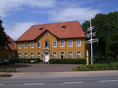
Osnabrücker Straße, Hilter
Geographical coordinates (GPS) Address Nearby Places Show on map
Geographical coordinates (GPS)
| Latitude | Longitude |
|---|---|
| N 52.15 ° | E 8.15 ° |
Address
Osnabrücker Straße
49176 Hilter
Lower Saxony, Germany
Open on Google Maps


