Banks, Oregon
1921 establishments in OregonBanks, OregonCities in OregonCities in Washington County, OregonPortland metropolitan area ... and 1 more
Use mdy dates from July 2023

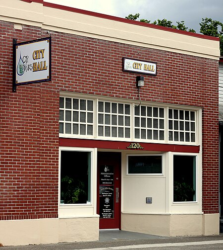
Banks is a city in Washington County, Oregon, United States which is located in the Tualatin Valley. It is the southern anchor to the Banks–Vernonia State Trail, which is a 21-mile (34 km) long linear trail popular with bicyclists, hikers, and equestrians. The population was 1,777 at the 2010 census. The community was named for John and Nancy Banks, who owned a nearby dairy farm. Incorporated in 1921, it is located in the western part of the county where Oregon Route 6 intersects Oregon Route 47.
Excerpt from the Wikipedia article Banks, Oregon (License: CC BY-SA 3.0, Authors, Images).Banks, Oregon
Northwest Scottston Terrace,
Geographical coordinates (GPS) Address Nearby Places Show on map
Geographical coordinates (GPS)
| Latitude | Longitude |
|---|---|
| N 45.615 ° | E -123.10694444444 ° |
Address
Northwest Scottston Terrace 13028
97106
Oregon, United States
Open on Google Maps


