Villanúa
Municipalities in the Province of HuescaProvince of Huesca geography stubsPyrenees
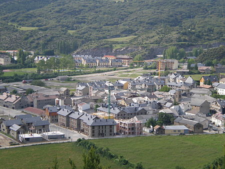
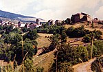
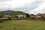
Villanúa (in Aragonese: Bellanuga) is a Pyrenean municipality in Spain in the north of Huesca province, in la Jacetania, set where the Aragon valley gets wider. Its name refers to the "new village" repopulated in the late 10th century. Villanúa's altitude is 953 m and it covers 58.2 km2. The village is at the bottom of mount Collarada (2886 m) and in 2018 had 447 inhabitants. It is a tourist locality located between Jaca and the ski stations of Candanchú and Astún and near the French border (12 km. by the Tunnel of Somport).
Excerpt from the Wikipedia article Villanúa (License: CC BY-SA 3.0, Authors, Images).Villanúa
Carretera de Alicante a Francia por Zaragoza,
Geographical coordinates (GPS) Address Nearby Places Show on map
Geographical coordinates (GPS)
| Latitude | Longitude |
|---|---|
| N 42.683333333333 ° | E -0.53333333333333 ° |
Address
Carretera de Alicante a Francia por Zaragoza
Carretera de Alicante a Francia por Zaragoza
22870
Aragon, Spain
Open on Google Maps

