Niederhadamar
Hesse geography stubsVillages in Hesse

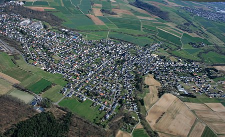
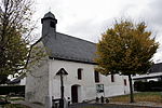
Niederhadamar is a German village belonging to the municipality of Hadamar, with 4,000 inhabitants. It is located between several other communities: Elz to the south, Hundsangen to the west, Hadamar to the north, and Offheim to the east. There is also a forest to the west of the city. Niederhadamar has two kindergartens, one Protestant and one Catholic, and a Catholic church, St. Peter's. It also has a school with an enrollment of approximately 2000 pupils as well as a ground school.
Excerpt from the Wikipedia article Niederhadamar (License: CC BY-SA 3.0, Authors, Images).Niederhadamar
Grünborner Weg,
Geographical coordinates (GPS) Address Nearby Places Show on map
Geographical coordinates (GPS)
| Latitude | Longitude |
|---|---|
| N 50.433333333333 ° | E 8.0333333333333 ° |
Address
Grünborner Weg
Grünborner Weg
65589 (Kernstadt)
Hesse, Germany
Open on Google Maps


