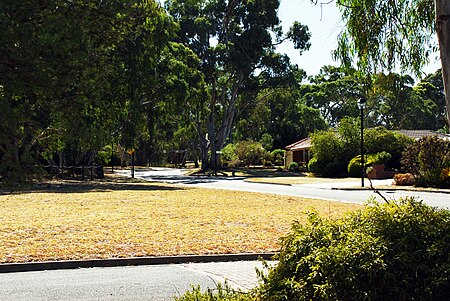
Onkaparinga Hills, South Australia

Onkaparinga Hills is a southern suburb of Adelaide, in the City of Onkaparinga. It covers an area of approximately 22 square kilometres (8.5 square miles).[1] It has a population of 2534 people (2011 Census). It is a leafy suburb that includes parts of the Onkaparinga River National Park.[2]Nearly 60% of families in the area are couples with children, compared to an Australian average of 45.3%. The median rent in 2006 was $230.[3] The current median cost of a home in the area is $390 000.[4] 93.5% of people speak English only at home (Australian average 78.5%) and 91% are Australian citizens compared to the Australian average of 86.1%.[5] The Onkaparinga Hills are examples of folding.
Excerpt from the Wikipedia article Onkaparinga Hills, South Australia (License: CC BY-SA 3.0, Authors, Images).Onkaparinga Hills, South Australia
Kimbley Road, Adelaide
Geographical coordinates (GPS) Address Nearby Places Show on map
Geographical coordinates (GPS)
| Latitude | Longitude |
|---|---|
| N -35.147 ° | E 138.551 ° |
Address
Kimbley Road
Kimbley Road
5163 Adelaide (Onkaparinga Hills)
South Australia, Australia
Open on Google Maps


