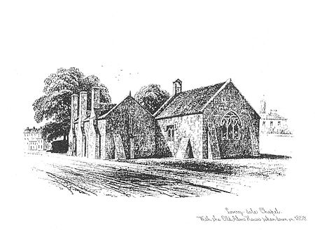
Livery Dole
Almshouses in DevonBuildings and structures in ExeterHistory of ExeterUse British English from June 2014

Livery Dole in Exeter, Devon, is an ancient triangular site between what is today Heavitree Road and Magdalen Road, in the eastern suburbs of Exeter. It was most notoriously used as a place for executions, and has contained an almshouse and chapel since 1591.
Excerpt from the Wikipedia article Livery Dole (License: CC BY-SA 3.0, Authors, Images).Livery Dole
Livery Dole, Exeter Heavitree
Geographical coordinates (GPS) Address Nearby Places Show on map
Geographical coordinates (GPS)
| Latitude | Longitude |
|---|---|
| N 50.72196 ° | E -3.51027 ° |
Address
Livery Dole
Livery Dole
EX2 5DT Exeter, Heavitree
England, United Kingdom
Open on Google Maps


