Laarbeek
LaarbeekMunicipalities of North BrabantMunicipalities of the Netherlands established in 1997North Brabant geography stubsPages including recorded pronunciations ... and 1 more
Pages with Dutch IPA

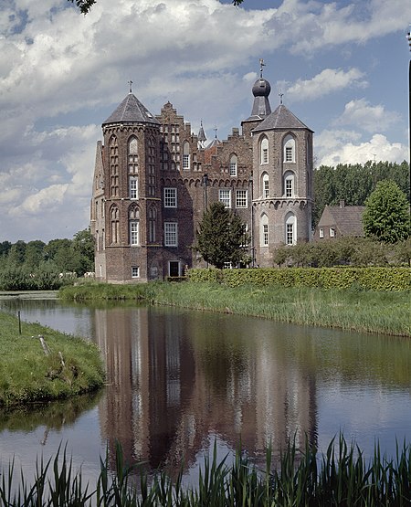
Laarbeek (Dutch pronunciation: [ˈlaːrbeːk] ) is a municipality located in the province of North Brabant in the south of the Netherlands. It was formed in 1997 from the former municipalities Beek en Donk, Aarle-Rixtel and Lieshout (which included the village Mariahout). Laarbeek is part of the city region 'Samenwerkingsverband Regio Eindhoven', centered on the city of Eindhoven. The town hall is located in Beek en Donk. Lieshout is home of the Bavaria Brewery, one of the Netherlands' largest breweries which produces for local and foreign markets. The Croy Castle is located near the village Aarle-Rixtel.
Excerpt from the Wikipedia article Laarbeek (License: CC BY-SA 3.0, Authors, Images).Laarbeek
Nachtegaallaan, Laarbeek
Geographical coordinates (GPS) Address Nearby Places Show on map
Geographical coordinates (GPS)
| Latitude | Longitude |
|---|---|
| N 51.533333333333 ° | E 5.6333333333333 ° |
Address
Nachtegaallaan 2b
5741 KC Laarbeek
North Brabant, Netherlands
Open on Google Maps


