Bátonyterenye
Novohrad-Nógrád UNESCO Global GeoparkNógrád geography stubsPlanned communities in HungaryPopulated places in Nógrád CountySocialist planned cities

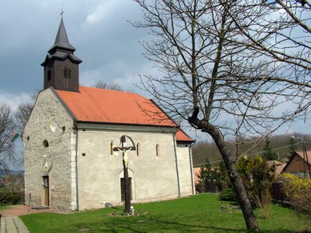
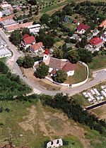
Bátonyterenye is a town in Nógrád county, in Northern Hungary. The town is the part of the Novohrad-Nógrád Geopark. Bátonyterenye was created in 1984 by the unification of the three villages of Nagybátony, Kisterenye, and Szúpatak. The new settlement became a town in 1989. Bátonyterenye was described as a typical socialist mining city.
Excerpt from the Wikipedia article Bátonyterenye (License: CC BY-SA 3.0, Authors, Images).Bátonyterenye
Jedlik Ányos út, Bátonyterenyei járás
Geographical coordinates (GPS) Address Nearby Places Show on map
Geographical coordinates (GPS)
| Latitude | Longitude |
|---|---|
| N 47.9906 ° | E 19.83091 ° |
Address
Jedlik Ányos út
3070 Bátonyterenyei járás, Maconka
Hungary
Open on Google Maps


