River Axe (Bristol Channel)
Axe (Bristol Channel) catchmentRiver navigations in the United KingdomRivers of SomersetSomerset LevelsUse British English from September 2017
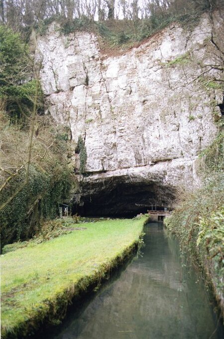
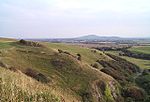
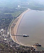
The River Axe is a river in South West England. The river is formed by water entering swallets in the limestone and rises from the ground at Wookey Hole Caves in the Mendip Hills in Somerset, and runs through a V-shaped valley. The geology of the area is limestone and the water reaches Wookey Hole in a series of underground channels that have eroded through the soluble limestone. The river mouth is in Weston Bay on the Bristol Channel. The river was navigable from the middle ages until 1915, during early centuries of which seeing some European trade.
Excerpt from the Wikipedia article River Axe (Bristol Channel) (License: CC BY-SA 3.0, Authors, Images).River Axe (Bristol Channel)
Links Road,
Geographical coordinates (GPS) Address Nearby Places Show on map
Geographical coordinates (GPS)
| Latitude | Longitude |
|---|---|
| N 51.320833333333 ° | E -2.9927777777778 ° |
Address
Weston Bay Yacht Club
Links Road
BS23 4XY
England, United Kingdom
Open on Google Maps

