Strathgryffe

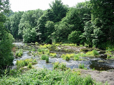
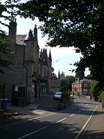
Strathgryffe or Gryffe Valley (Scottish Gaelic: Srath Ghriobhaidh) is the strath of River Gryffe, which lies within the historic county of Renfrewshire in the west central Lowlands of Scotland. Strathgryffe also gives its name to a feudal lordship, which covered the western portion of Renfrewshire in the 12th century and formed the nucleus of the county. The land was originally associated with the House of Stewart, who went on to be monarchs of Scotland and later Great Britain. The settlements of Strathgryffe are divided between the council areas of Inverclyde and Renfrewshire and largely follow the flow of the River Gryffe, from Kilmacolm in the far west to where the river meets the Black Cart Water between Houston and Inchinnan. Other significant settlements include Bridge of Weir, Quarriers Village and Crosslee.
Excerpt from the Wikipedia article Strathgryffe (License: CC BY-SA 3.0, Authors, Images).Strathgryffe
Kilallan Road,
Geographical coordinates (GPS) Address Nearby Places Show on map
Geographical coordinates (GPS)
| Latitude | Longitude |
|---|---|
| N 55.878 ° | E -4.574 ° |
Address
Kilallan Road
Kilallan Road
PA6 7JD
Scotland, United Kingdom
Open on Google Maps


