Breck Road

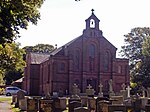
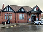
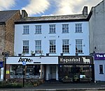
Breck Road (formerly Breck Street; colloquially known as The Breck) is a road in Poulton-le-Fylde, Lancashire, England. Originally known as Breck Street, it runs for about 0.79 miles (1.27 km) from Chapel Street, Ball Street and Vicarage Road in the south to Amounderness Way (the A585) in the north. The road is one-way northbound between its Chapel Street/Ball Street/Vicarage Road junction and Victoria Road, just beyond Poulton-le-Fylde railway station. It is part of the A588, a designation it picks up from Chapel Street. Amounderness Way eastbound inherits the A588 designation. Sources differ as to whether Breck Street was the former name of Breck Road or Station Road. An October 1926 edition of The London Gazette lists all three streets.
Excerpt from the Wikipedia article Breck Road (License: CC BY-SA 3.0, Authors, Images).Breck Road
Breck Road, Borough of Wyre Skippool
Geographical coordinates (GPS) Address External links Nearby Places Show on map
Geographical coordinates (GPS)
| Latitude | Longitude |
|---|---|
| N 53.85202 ° | E -2.986905 ° |
Address
Breck Lodge Care Home
Breck Road 78-80
FY6 7HT Borough of Wyre, Skippool
England, United Kingdom
Open on Google Maps


