Kincardine-in-Menteith
Civil parishes of ScotlandGeography of Stirling (council area)Stirling (council area) geography stubs
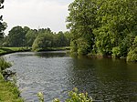
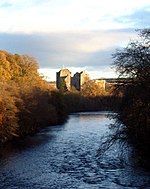
Kincardine is a civil parish in the Scottish council area of Stirling and the former county of Perthshire in the historic district of Menteith. It lies between the River Teith and River Forth and contains the villages of Blair Drummond and Thornhill. The parish church is 2 miles south-west of Doune. In 1877, the Thornhill part of the parish was erected into a separate parish for ecclesiastic (but not civil) purposes. At the last census (2011), the population of the civil parish was 1,148. The area of the parish is 10,207 acres. Kincardine parish is also a Community Council area under the name Thornhill and Blairdrummond.
Excerpt from the Wikipedia article Kincardine-in-Menteith (License: CC BY-SA 3.0, Authors).Kincardine-in-Menteith
Lime Avenue, Stirling
Geographical coordinates (GPS) Address Nearby Places Show on map
Geographical coordinates (GPS)
| Latitude | Longitude |
|---|---|
| N 56.167 ° | E -4.044 ° |
Address
Lime Avenue
Lime Avenue
FK9 4UR Stirling
Scotland, United Kingdom
Open on Google Maps


