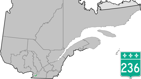
Quebec Route 236
Infobox road instances in QuebecQuebec RoutesQuebec road stubs

Route 236 is a two-lane east/west highway on the south shore of the Saint Lawrence River in the Montérégie region of Quebec, Canada. Its western terminus is in Saint-Stanislas-de-Kostka at the junction of Route 132 and the eastern terminus is at the junction of Route 132 again, in Beauharnois. Up until the 1980s, Route 236 also used to extend further west, with an additional stretch between Sainte-Barbe and the hamlet of Cazaville, part of Saint-Anicet.
Excerpt from the Wikipedia article Quebec Route 236 (License: CC BY-SA 3.0, Authors, Images).Quebec Route 236
Rang du Dix,
Geographical coordinates (GPS) Address Nearby Places Show on map
Geographical coordinates (GPS)
| Latitude | Longitude |
|---|---|
| N 45.2401 ° | E -73.9119 ° |
Address
Rang du Dix
Rang du Dix
J0S 1G0
Quebec, Canada
Open on Google Maps


