Tagensvej
Streets in BispebjergStreets in Nørrebro

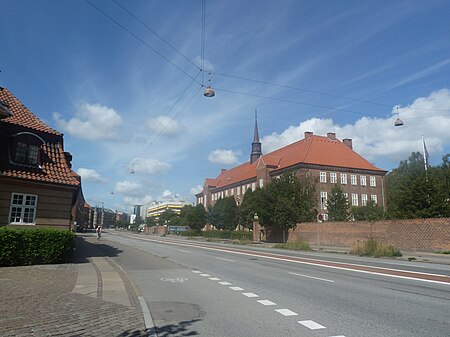
Tagensvej is a major street in the northwestern part of inner Copenhagen, Denmark. It runs from Blegdamsvej on the border between Nørrebro and Østerbro in the southeast to Frederiksborgvej and Bispebjerg Cemetery in the northwest.
Excerpt from the Wikipedia article Tagensvej (License: CC BY-SA 3.0, Authors, Images).Tagensvej
Tagensvej, Copenhagen Nørrebro
Geographical coordinates (GPS) Address Website Nearby Places Show on map
Geographical coordinates (GPS)
| Latitude | Longitude |
|---|---|
| N 55.7061 ° | E 12.5426 ° |
Address
Volkswagen København
Tagensvej
2200 Copenhagen, Nørrebro
Capital Region of Denmark, Denmark
Open on Google Maps


