H. C. Ørsteds Vej
Streets in Frederiksberg

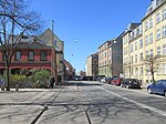
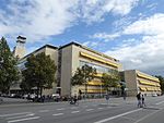
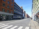
H. C. Ørsteds Vej is a street in the Frederiksberg district of Copenhagen, Denmark. It runs from Gammel Kongevej in the south to Åboulevard on the border with Nørrebro in the north, linking Alhambravej in the south with Griffenfeldsgade in the north.
Excerpt from the Wikipedia article H. C. Ørsteds Vej (License: CC BY-SA 3.0, Authors, Images).H. C. Ørsteds Vej
H.C. Ørsteds Vej, Frederiksberg
Geographical coordinates (GPS) Address Nearby Places Show on map
Geographical coordinates (GPS)
| Latitude | Longitude |
|---|---|
| N 55.6808 ° | E 12.5489 ° |
Address
Bella Italia
H.C. Ørsteds Vej
1879 Frederiksberg
Capital Region of Denmark, Denmark
Open on Google Maps


