Borups Allé
Streets in BispebjergStreets in Nørrebro

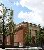
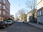
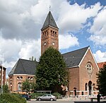
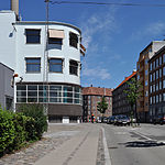
Borups Allé is a major artery in the northwestern part of inner Copenhagen, Denmark. The 3.2 km long street runs from Jagtvej at Nuuks Plads in the southeast to Bellahøj in the northwest. Just before Hulgårdsvej, part of Ring 2, Borups Allé is joined by Bispeengbuen, an elevated road section that connects it to Åboulevard-Ågade and H. C. Andersens Boulevard in the city centre. The rest of Borups Allé is the first leg of the National Road 16, part of the Danish national road network. It continues as a six-lane road to Frederikssundsvej where it becomes Hareskovvej and later the Hillerød Motorway at Utterslev Mose.
Excerpt from the Wikipedia article Borups Allé (License: CC BY-SA 3.0, Authors, Images).Borups Allé
Borups Allé, Frederiksberg
Geographical coordinates (GPS) Address Nearby Places Show on map
Geographical coordinates (GPS)
| Latitude | Longitude |
|---|---|
| N 55.694 ° | E 12.5318 ° |
Address
Meny
Borups Allé
1959 Frederiksberg
Capital Region of Denmark, Denmark
Open on Google Maps


