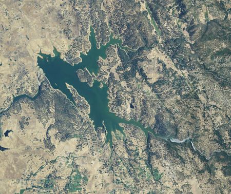
Camp Far West Reservoir

Camp Far West Reservoir (also known as Camp Far West Lake) is a small reservoir in the foothills of Northern California located approximately eight miles (13 km) east of Wheatland, California and 45 miles (72 km) northeast of Sacramento. The lake forms the meeting point of three California counties, Placer, Nevada and Yuba. The lake was formed by the Bear River and Rock Creek, near what was formerly the confluence of the two streams. The dam was constructed in 1963 as part of the California State Water Project to control flooding in the Central Valley (California), and to provide hydroelectric power to the surrounding area. The facility is owned and operated by the South Sutter Water District.
Excerpt from the Wikipedia article Camp Far West Reservoir (License: CC BY-SA 3.0, Authors, Images).Camp Far West Reservoir
Camp Far West Road,
Geographical coordinates (GPS) Address Show on map
Geographical coordinates (GPS)
| Latitude | Longitude |
|---|---|
| N 39.05 ° | E -121.31666666667 ° |
Address
Camp Far West Road
Camp Far West Road
California, United States
Open on Google Maps