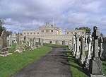
Camptown, Scottish Borders
Villages in the Scottish Borders

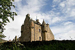
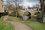
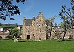
Camptown is a small settlement on the A68, in the Scottish Borders area of Scotland, 5m (8 km) south of Jedburgh, and the same distance south to Carter Bar. The village lies on the course of the Jed Water, and the remains of a peel tower are close by at Edgerston. The village has a church and village hall at nearby Edgerston, a bus service to Jedburgh and Newcastle, a memorial cairn, and a telephone box. Schooling takes place in Jedburgh. Other places nearby are Bairnkine, Bonchester Bridge, Crailing, Ferniehirst Castle, Hobkirk, the Jed Water, Mossburnford, and Oxnam.
Excerpt from the Wikipedia article Camptown, Scottish Borders (License: CC BY-SA 3.0, Authors, Images).Camptown, Scottish Borders
A68,
Geographical coordinates (GPS) Address Nearby Places Show on map
Geographical coordinates (GPS)
| Latitude | Longitude |
|---|---|
| N 55.414722222222 ° | E -2.5080555555556 ° |
Address
A68
TD8 6PN
Scotland, United Kingdom
Open on Google Maps


