Cass Corridor

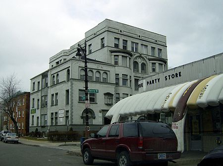
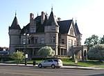
The Cass Corridor is the name of the neighborhood on the west end of Midtown Detroit. It includes the Cass Park Historic District, the Cass-Davenport Historic District and Old Chinatown. The corridor's main street, Cass Avenue, runs parallel with M-1 (Woodward Avenue), a main Detroit artery running north toward New Center. Though Cass runs from Congress Street, ending a few miles farther north at West Grand Boulevard, the Cass Corridor generally is defined as between Interstate 75 (I-75) at its southern end and Interstate 94 (I-94) to the north, and stretches from Woodward to the east and to the west: John C. Lodge (M-10 service drive) north of Temple, and Grand River Avenue south of Temple.
Excerpt from the Wikipedia article Cass Corridor (License: CC BY-SA 3.0, Authors, Images).Cass Corridor
Antoinette Street, Detroit New Center
Geographical coordinates (GPS) Address Nearby Places Show on map
Geographical coordinates (GPS)
| Latitude | Longitude |
|---|---|
| N 42.363333333333 ° | E -83.070277777778 ° |
Address
Antoinette Street
48202 Detroit, New Center
Michigan, United States
Open on Google Maps


